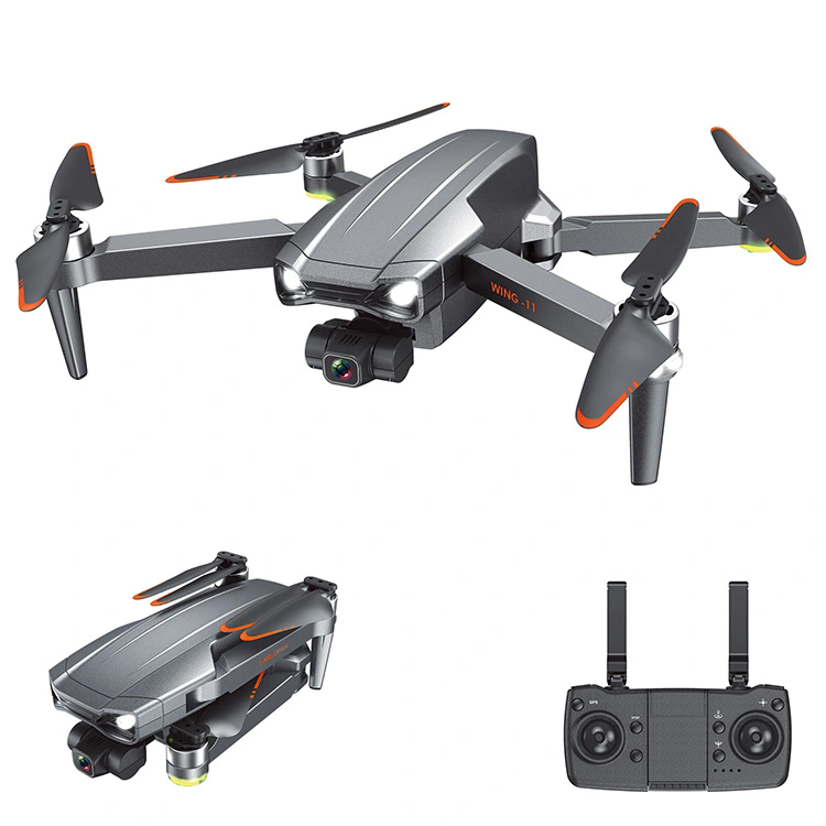
Features of GPS RC Drones
2024-05-13
A GPS RC drone is a remote-controlled aircraft equipped with GPS (Global Positioning System) technology for navigation and positioning. These drones are popular for their advanced features, stability, and ease of use, making them suitable for various applications, including photography, videography, surveillance, mapping, and recreational flying.
Key features of GPS RC drones typically include:
1. GPS Positioning: GPS technology allows the drone to accurately determine its position and maintain stable flight even in windy conditions or areas with poor GPS signal reception.
2. Waypoint Navigation: Many GPS RC drones support waypoint navigation, enabling users to pre-program a series of GPS coordinates for the drone to follow autonomously. This feature is useful for creating precise flight paths for aerial photography or mapping missions.
3. Return to Home (RTH): RTH is a safety feature that automatically directs the drone to return to its takeoff point if the signal is lost, the battery is low, or the user initiates the command. GPS ensures the drone returns accurately to its home point.
4. Follow Me Mode: Follow Me mode allows the drone to track and follow a moving subject, such as a person or vehicle, using GPS positioning. This feature is popular for capturing dynamic aerial footage or for outdoor activities like hiking or biking.
5. Geofencing: Geofencing enables users to set virtual boundaries or no-fly zones using GPS coordinates, restricting where the drone can fly. This feature helps ensure compliance with aviation regulations and prevents the drone from entering restricted airspace.
6. GPS Hold: GPS hold mode maintains the drone's position and altitude using GPS coordinates, allowing for stable hovering during aerial photography or videography.
GPS RC drones come in various sizes, from compact consumer models to larger professional-grade drones used for commercial applications. They often feature high-resolution cameras, gimbal stabilization systems, and advanced flight control capabilities to enhance the user experience and enable creative aerial photography and videography.


